
I really was intrigued about the trains on Tuesday night with their horn blaring through the night. I emailed the site manager who told me that it was the trains across the river. Apparently there is a "siding" over there and one train would be waiting for another, coming from the opposite direction, to pass by. The trains are required by law to sound their horns because there aren't any controlled crossings over there, regardless of the time of day. At least it is an answer but imagine living with that day in, day out AND all night!
The weather forecast for today was dreadful. In fact the rain today had been forecast for at least a week both on the Canadian and British weather services.
It looked as if the rain would come in between 10am and 11am so we got up early and drove the 30 minutes to Whistler. It took us a while to find where the Village gondola went from but on our way we saw our third bear! This one we have called Bobby Bear as our youngest grandson, Bobby, will be 3 tomorrow 😍😍

This is just a pretty river that we walked across.

We found where the gondola went from and we were up and away at 10.30am – it was just starting to rain. The ride up to the top takes 25 minutes.


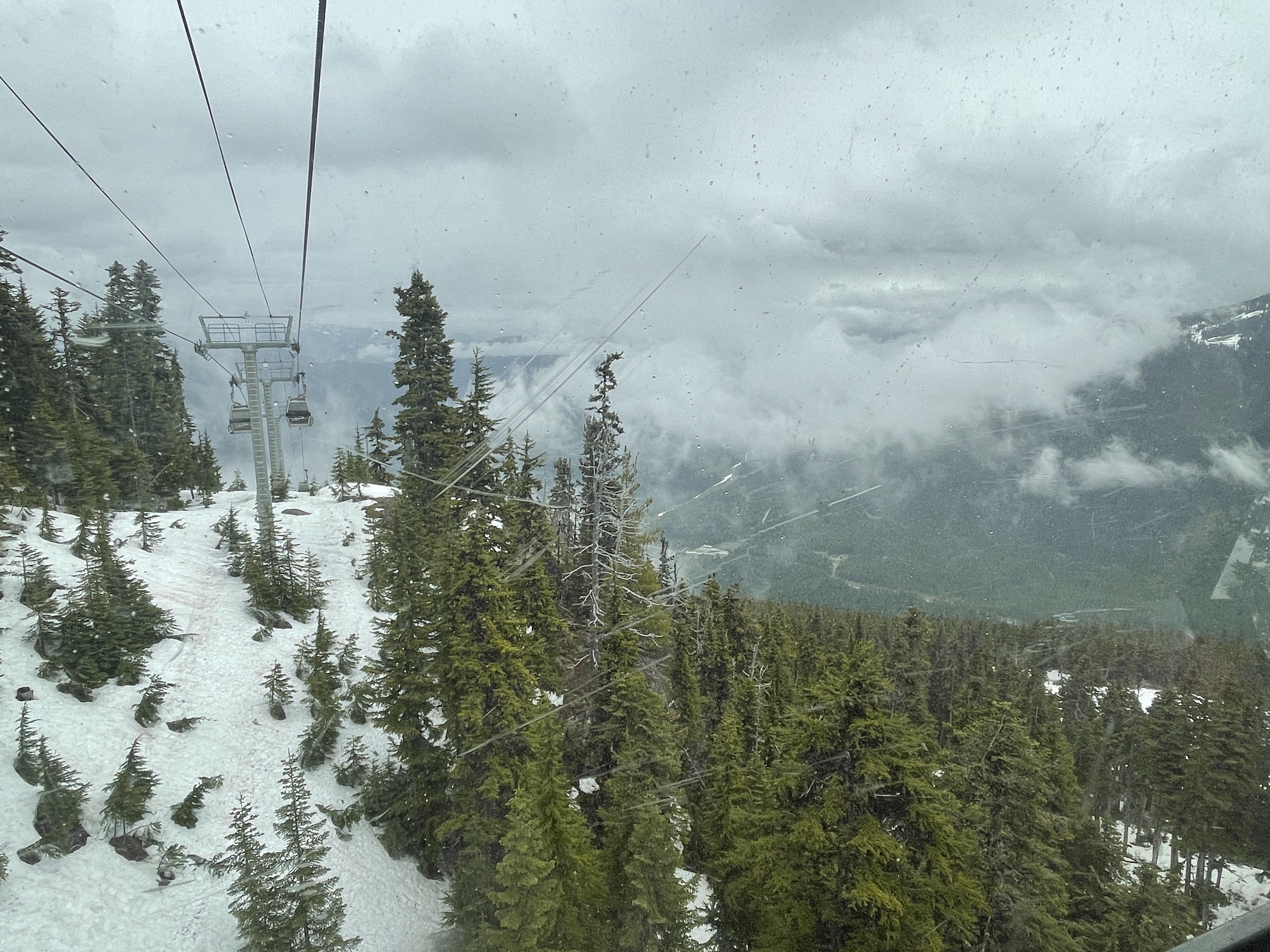


The Peak to Peak gondola was started in the winter of 2007 and completed in the winter of 2008. It held two World Records when it was first opened.
- World's Longest unsupported (free) span for a lift of this kind in the world World's Highest lift of its kind
- World's Longest continuous lift system
- Speed - 7.5 metres per second
- Crossing time - 11 minutes
- Total distance - 2.73 miles
- Length of unsupported span - 1.88 miles
- Highest point - 1,427 feet


We walked back to the RV in light rain but by the time we got to the Riverside RV Park it was raining quite hard. I need to mention here that there IS free wi-fi at Riverside, and it was good.


We found a large sign beside the road saying “don’t feed the bears”. I had visions of this!

It looked like the spot we had chosen to stop in, had been blasted out of granite and the boulder next to the RV was a beautiful colour.

South of Squamish we noticed that the road signs were not only written in English but in First Nation language. (I have probably been totally incorrect in how I have written that, and I apologise to anyone I may have offended. Maybe someone can put me right on the correct term).
All the rest areas had signs telling the various tribes’ story, which were very interesting.
Here is one of them (without the accents etc.)
“Before the Great Flood was the time of glaciation. Our Siiyam (Chiefs) and Elders tell how the snow covered our longhouses like a swekwelh (mountain goat wool blanket). This was a time of extreme cold and hardship for our people.
Along Atl’katsem / Texwnewets (Sea to Sky corridor) the backbone of our territory, there are rivers, creeks and waterfalls. Some are large, like Kwekwetxwm (Shannon Falls); some are smaller, like (Stl’alkem Stakw (Derek’s Creek). All are important.
These places have names and meaning to the Skwxwu7mesh (Squamish) people. Our Ancestors and Elders have told us how we are undeniably connected to this landscape – where we have lived since time immemorial.”
I think I might do a complete post once we are home on the signs and information gleaned from them.
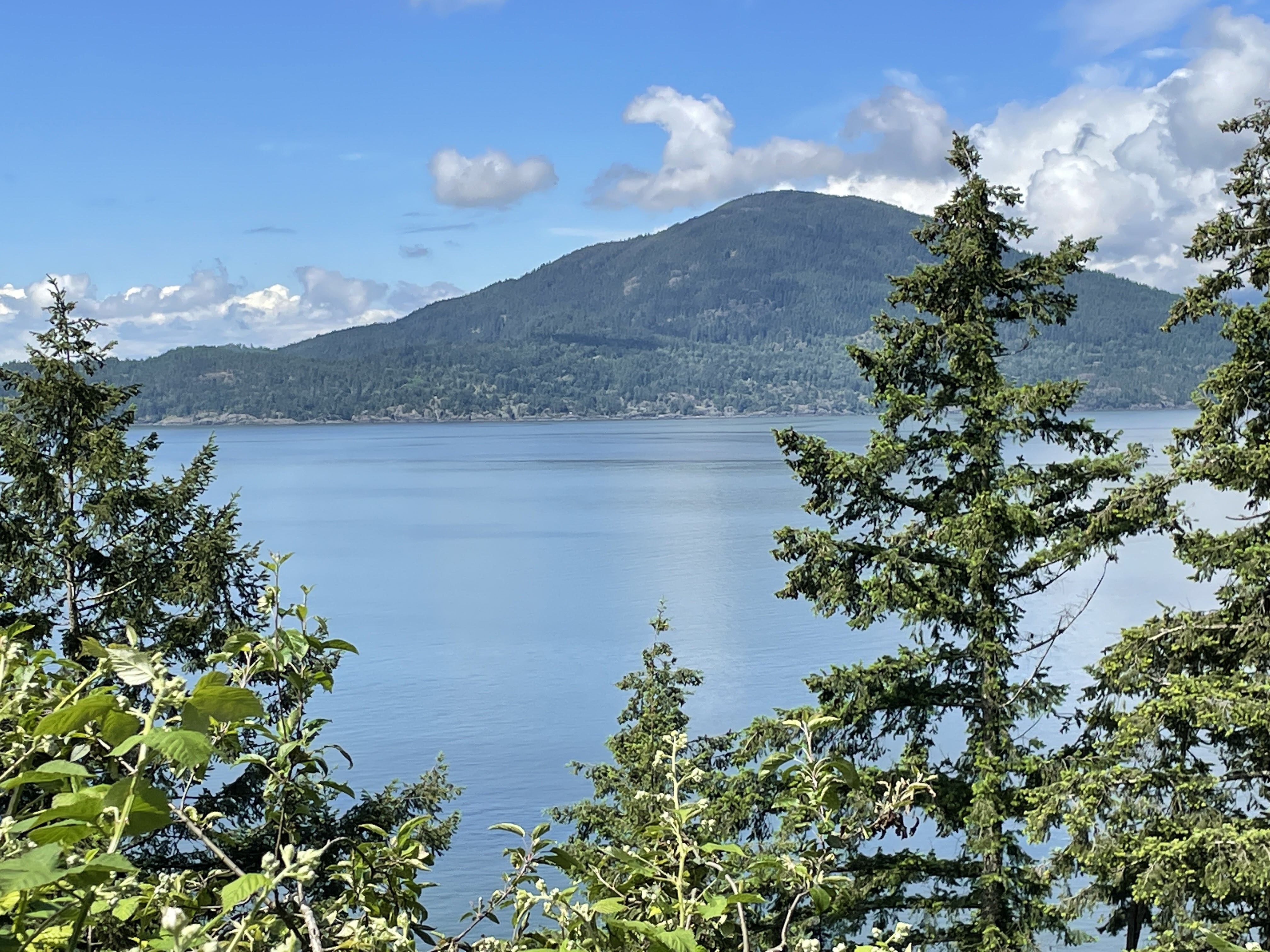
We passed this lovely waterfall, I think it is Shannon Falls.


We walked along the harbour front walkway and watched a seaplane taking off. There was a real mixture along the harbour front as there were multi million $ motor cruisers and some quite small and not so beautiful fishing boats, side by side! There was also a large tower block of flats centre stage which, in my view, rather spoilt things.


We had hoped to explore the old city quarter but we just can’t do everything 😕
We went back to the RV and drove north along the coast to Rathtrevor Beach Provincial Park where we had a pitch booked. It wasn’t the nicest of Provincial Park sites with everyone rather crammed in together – there was little or no privacy.
We walked to the sea, but the tide was out – typical! I bet in the summer the place is crammed.


We’ve skied at Whistler several times, so it’s interesting to see it in a different season. We’ve had days there where it’s been snowing heavily up the mountain, but as we’ve skied back down to the village at the end of the day, it’s been raining — sometimes the last bit is more like water skiing! It’s very low altitude for a ski resort really. We really liked Victoria on Vancouver Island. The seaplane trip round the harbour is well worth it.
ReplyDeleteI live in Tennessee in the US and we only have freight trains through our town. My husband and I lived in a duplex when we were first married right next to train tracks and close to a crossing. Trust me, after a while, you no longer hear the trains or their horns. At night, it's the same. You just learn to tune it out. I am loving your Canadian trip.
ReplyDelete